Linen Backed Map of Rennes, Dated 1890, by the Geographical Engraver and Printer Georges Erhard
$190.00
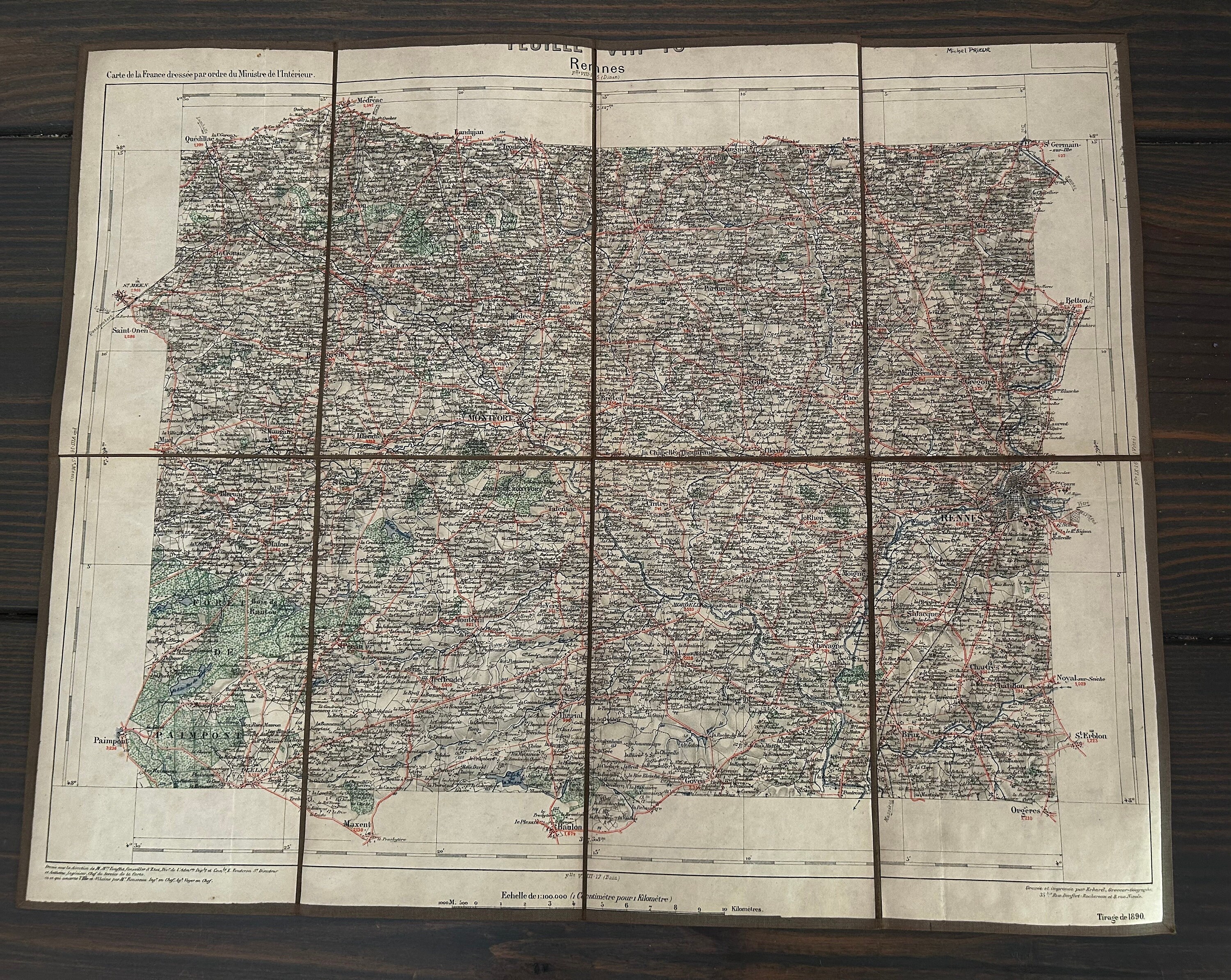
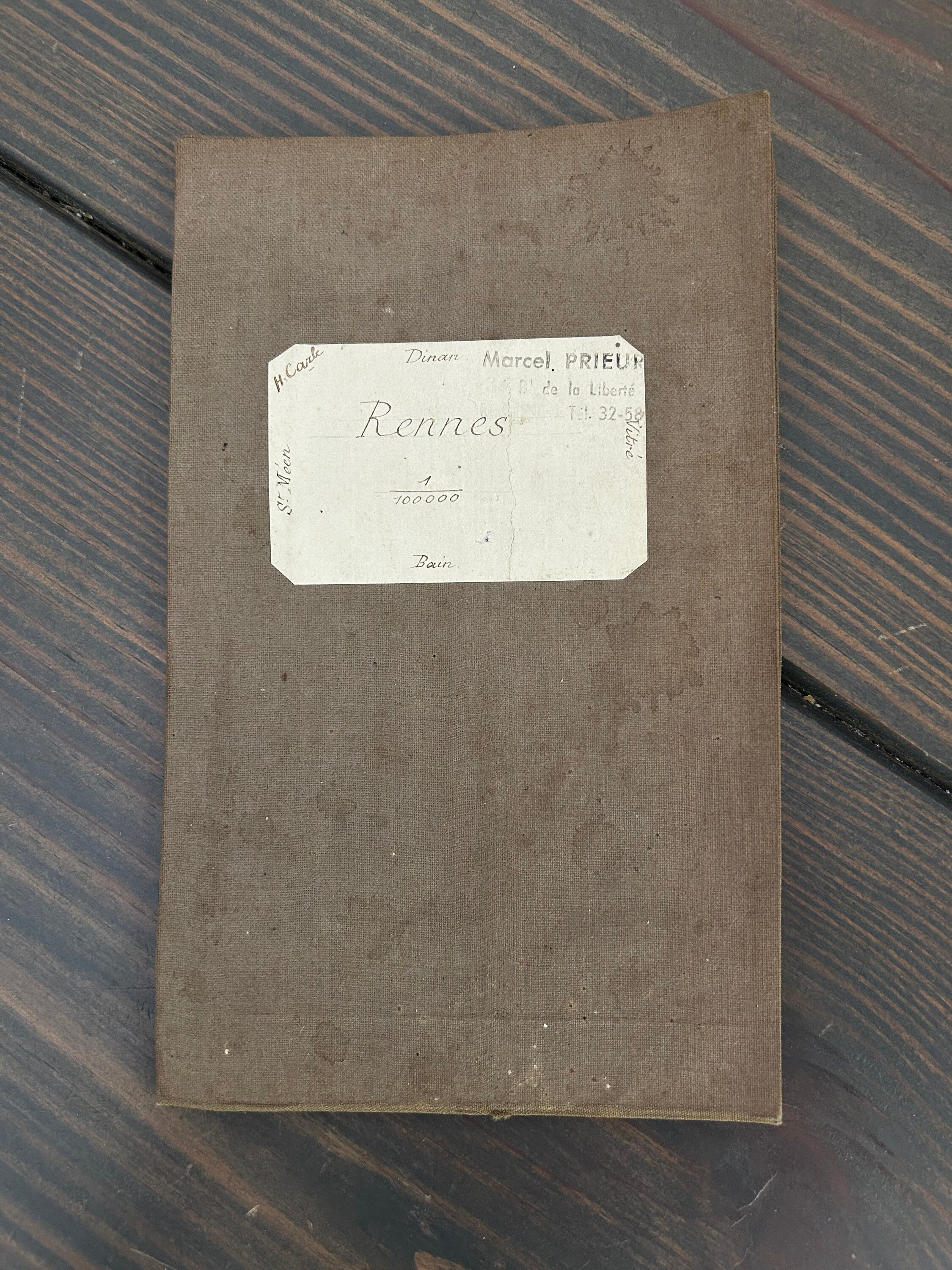
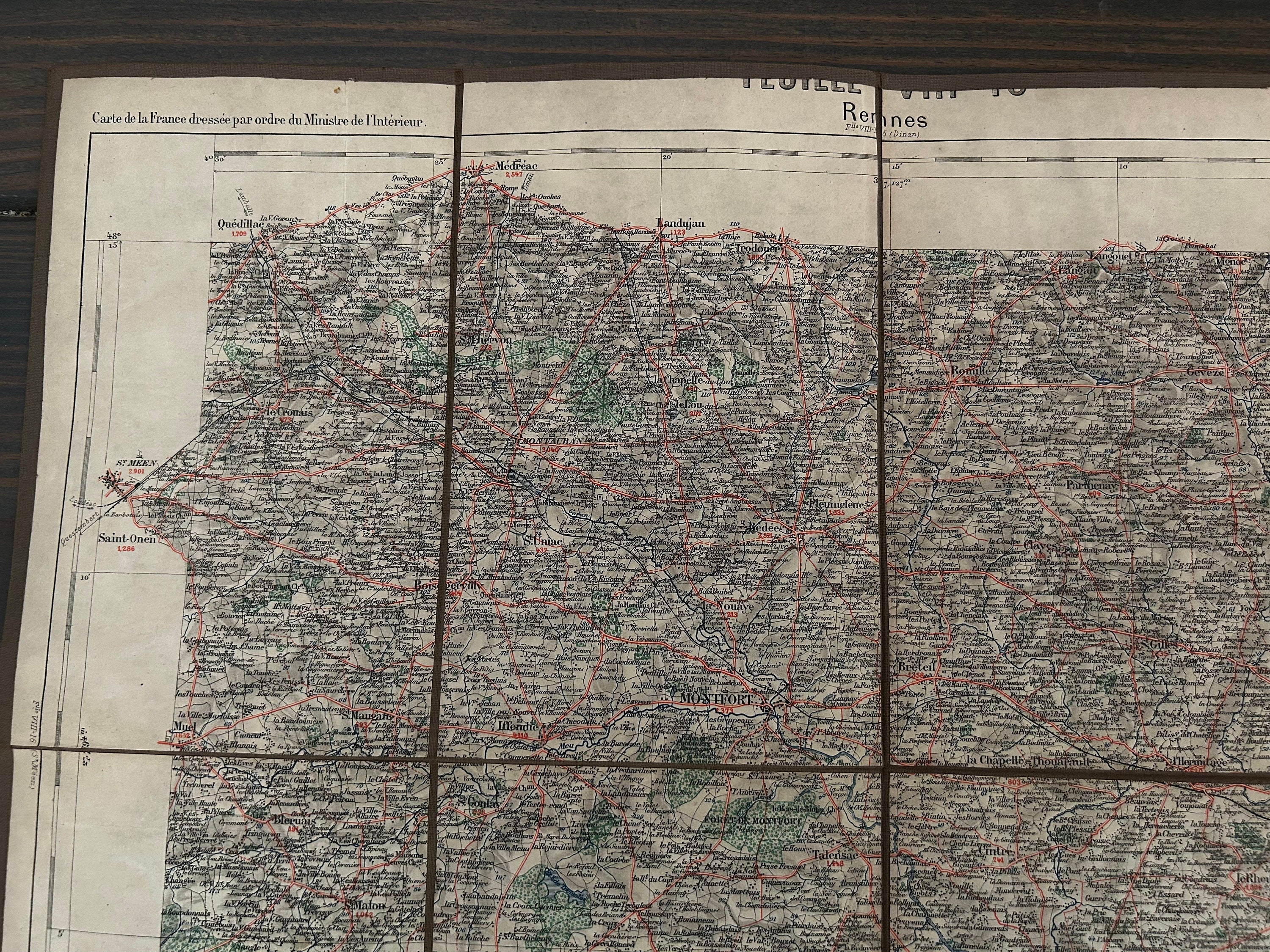
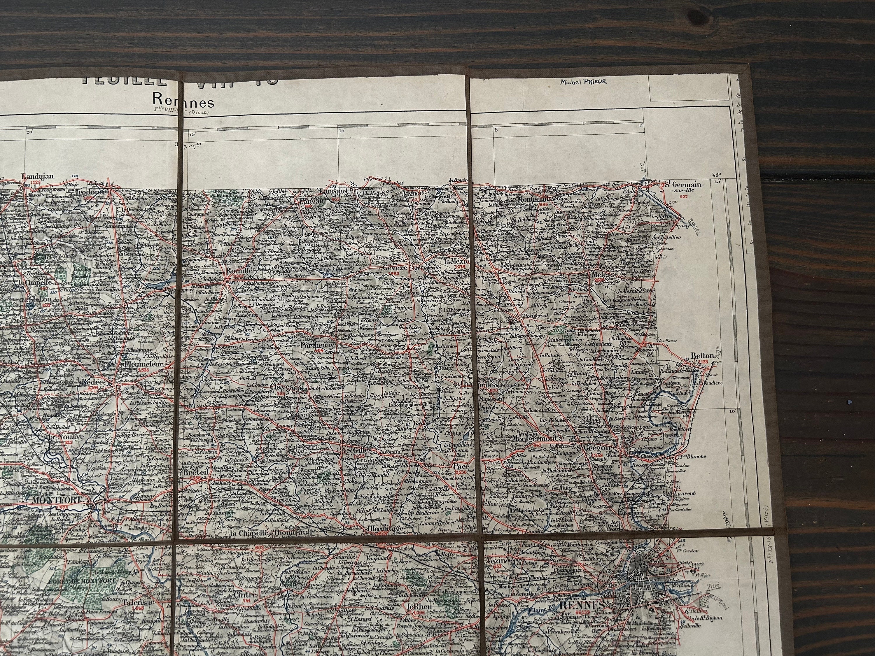
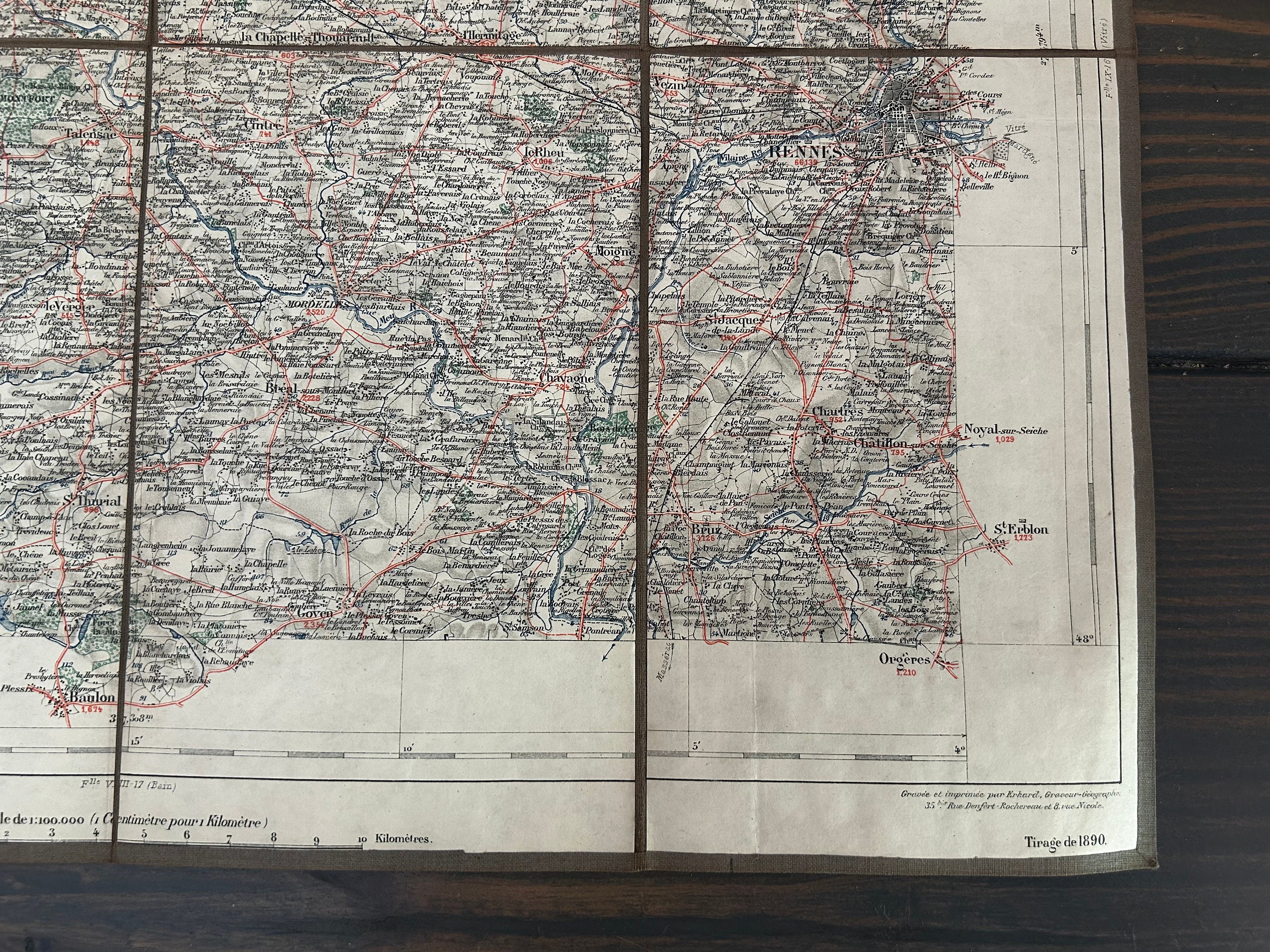
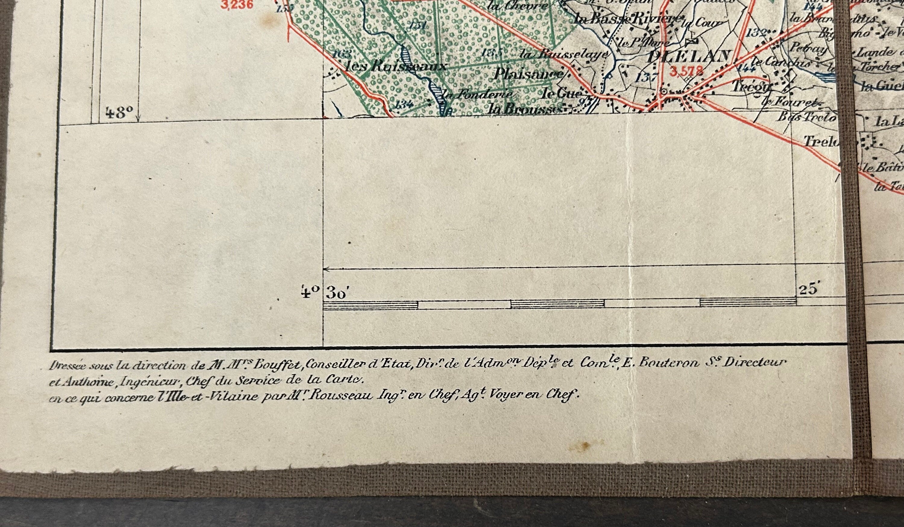
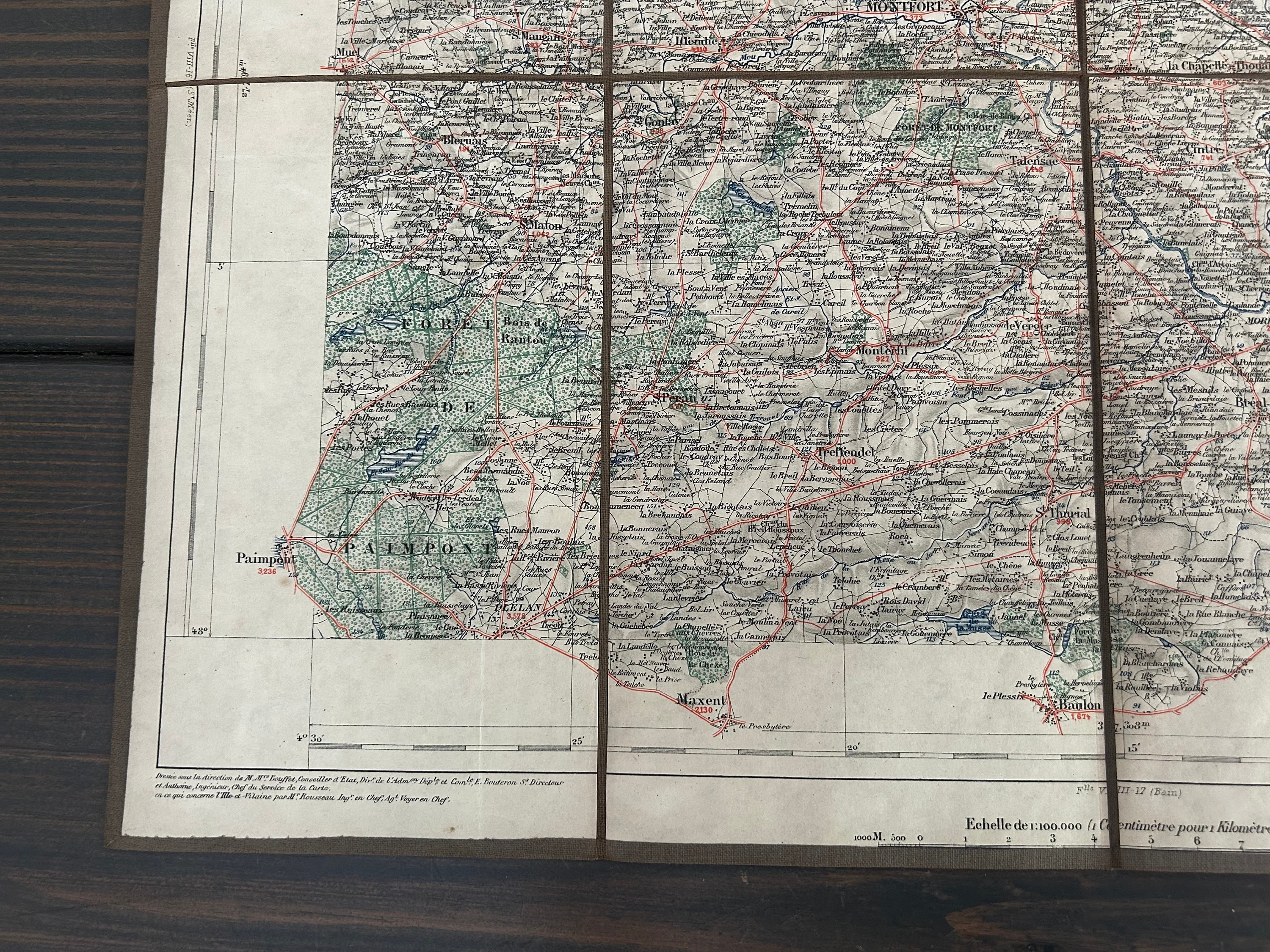
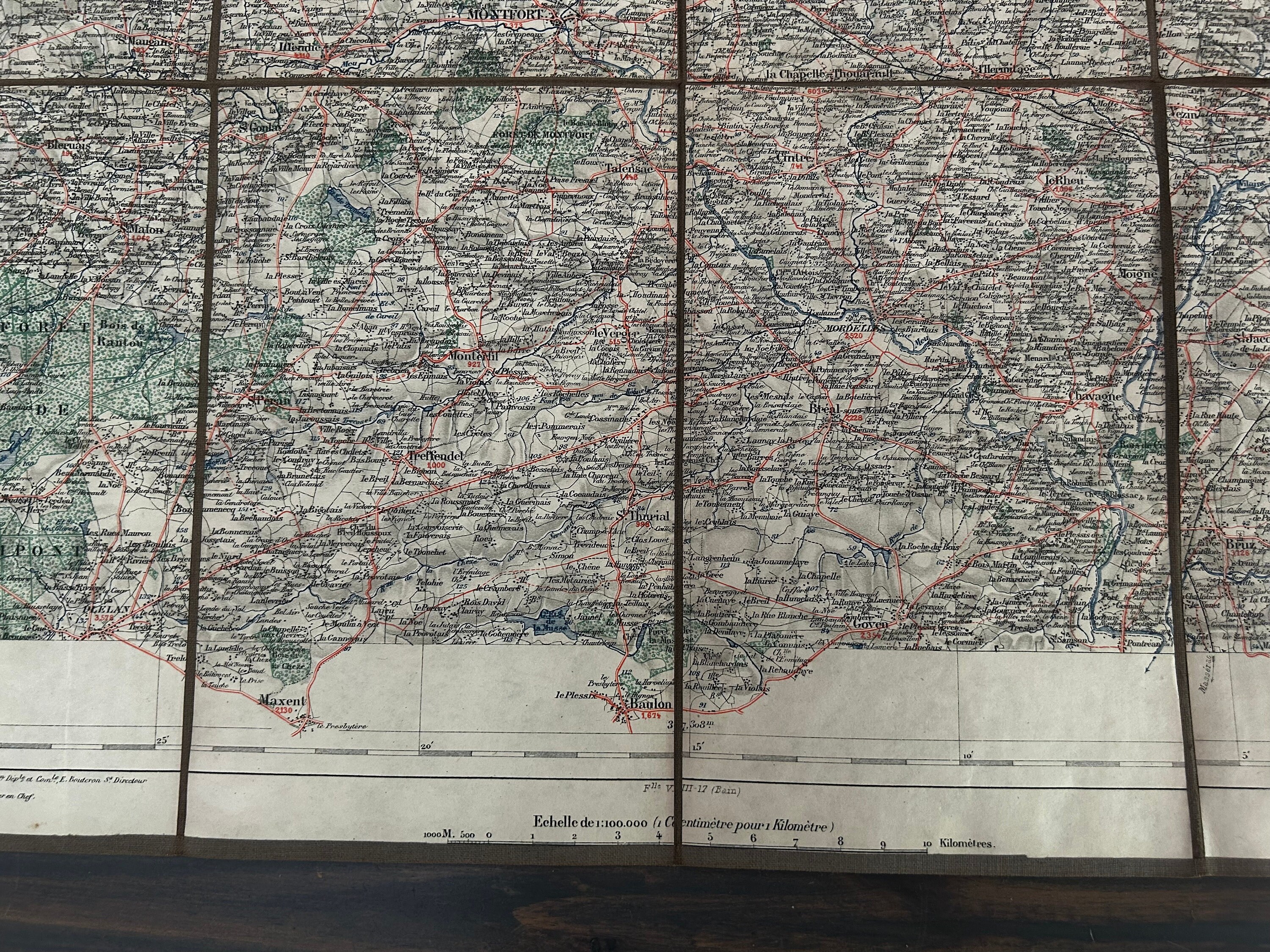
This antique map by the cartographer Erhard is dated 1890 and of the capital city of Bretagne (Brittany), Rennes. The cover of the linen-covered folio is stamped with "Marcel Prieur Bd de la Liberté."
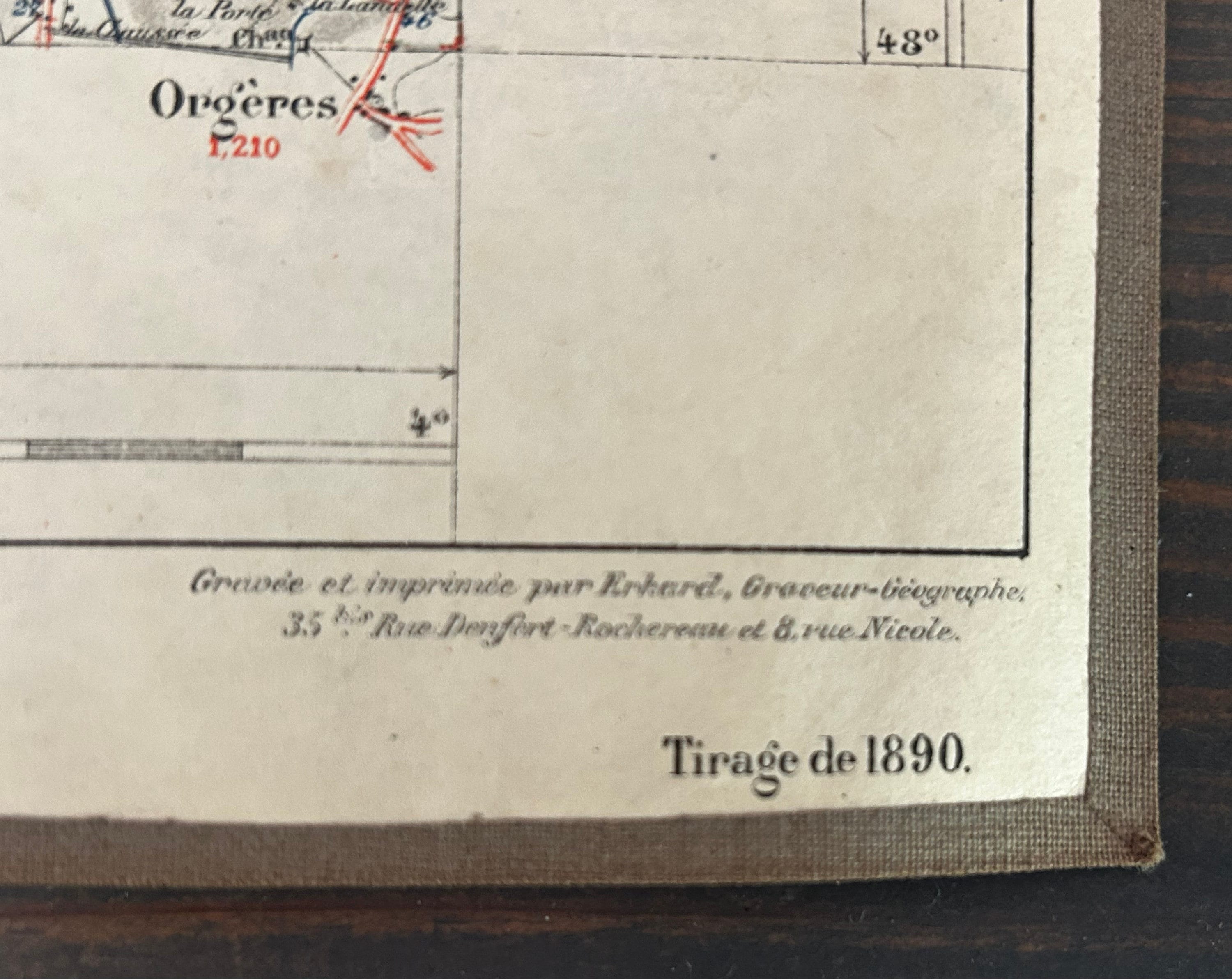
The bottom right corner reads: Engraved and printed by Erhard, geographical engraver, 35 rue Denfort-Rochereau and 8 Rue Nicole.
Dimensions are 11.7 cm x 19 cm folded and 47 cm x 38 cm unfolded.
Please note that the map and folio do have wear commensurate with age and use. Please examine the photos carefully and do let me know if you need more as I'll be happy to oblige.
About Georges Erhard Schièble (Erhard): https://www.geographicus.com/P/ctgy&Category_Code=erhardgeorges
Thank you for looking.
Returns & Exchanges
I gladly accept returns, exchanges, and cancellations
Just contact me within: 3 days of delivery
Ship items back to me within: 7 days of delivery
Questions about your order?
Please contact me if you have any problems with your order.